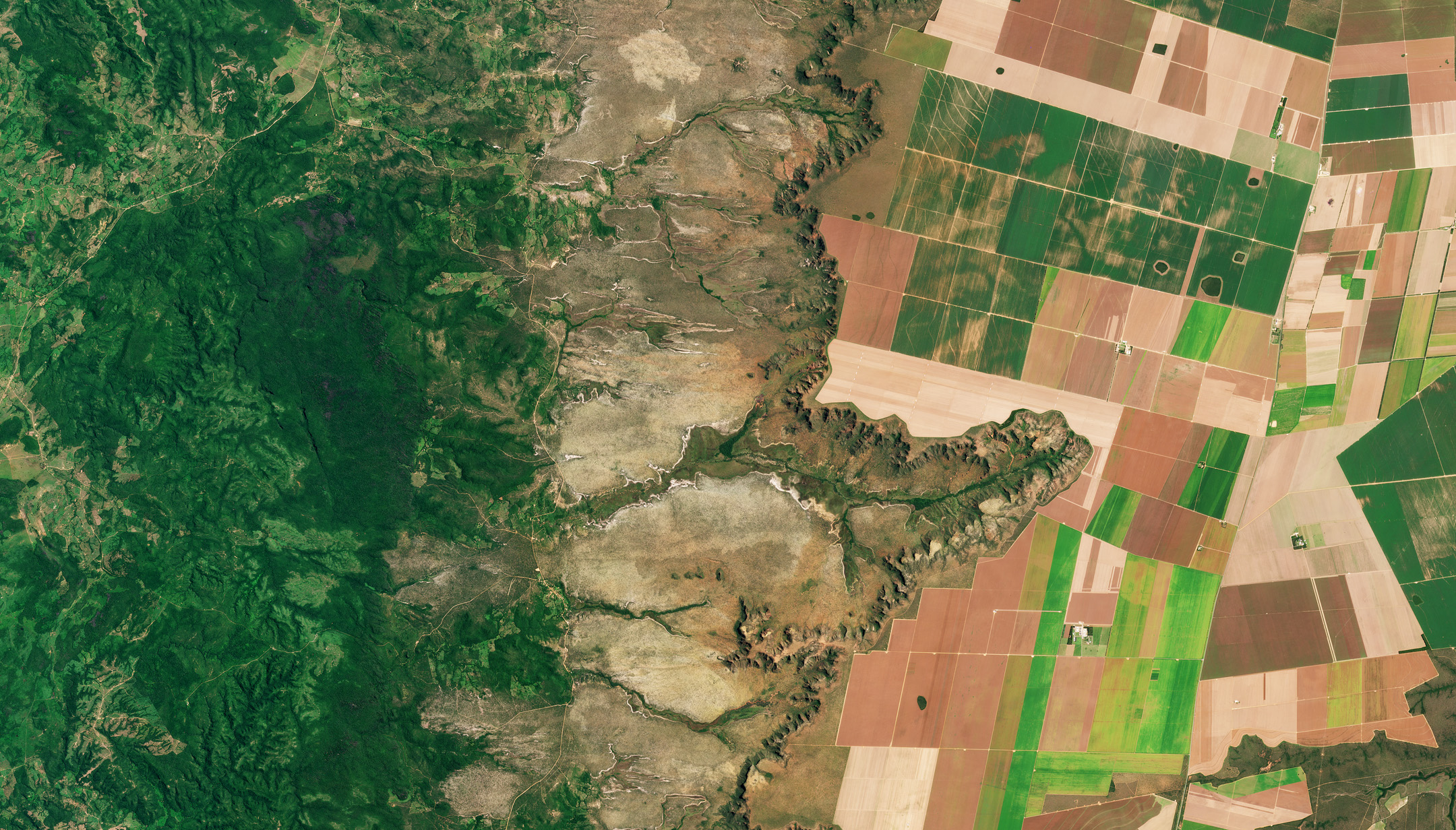
This practical session introduces participants to satellite-based land cover monitoring using Copernicus data. Participants will learn how to visualize and process EO datasets, create training samples, and run the CopPhil Land Cover service.
- Teacher: Etienne Ducasse
- Teacher: Marion Sutton

This course serves as an introduction to the CopPhil project, which aims to integrate Copernicus satellite data to enhance national capacities in disaster management and environmental monitoring across the Philippines. It kicks off the comprehensive series of courses designed to demonstrate the practical applications of the developed CopPhil pilot Earth Observation (EO) services in addressing critical national challenges. This course lays the groundwork for upcoming practical (Part II - June 2025; online) and application-based (Part III - August 2025; on-site) sessions.
- Teacher: Etienne Ducasse
- Teacher: Marion Sutton
