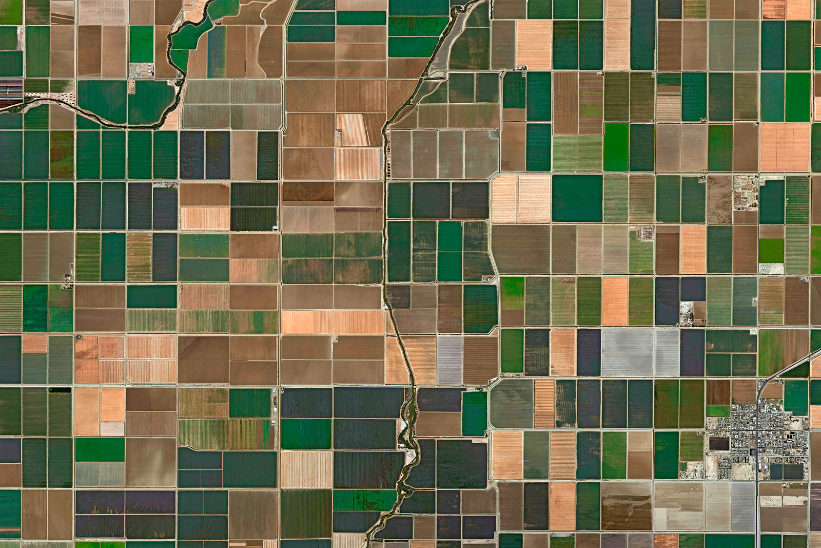
This course is the second part of the CopPhil Crop Monitoring Training Series focusing on the hands-on application of Earth Observation (EO) tools for crop type mapping and monitoring. Participants will work directly with satellite imagery and in-situ datasets using the CopPhil Crop Service, and explore the full data processing workflow—from preparation to classification and interpretation—using platforms such as Sen4Stat, Jupyter Notebooks, and QGIS.
- Teacher: Dominic Hewitt

This course introduces how satellite data and Earth Observation (EO) technologies help monitor crops and support agriculture. Participants will learn about key remote sensing techniques, vegetation indices, and tools like Sen4Stat, which uses Copernicus data for tracking crop growth and land use. As the first session in the Crop Monitoring Training Series, this course builds a foundation for using EO in agriculture, preparing participants for more hands-on (Part II - May 2025; onsite) and advanced (Part III - Aug 2025; onsite) training in the next sessions.
- Teacher: Dominic Hewitt
- Teacher: Alexander Kreisel
