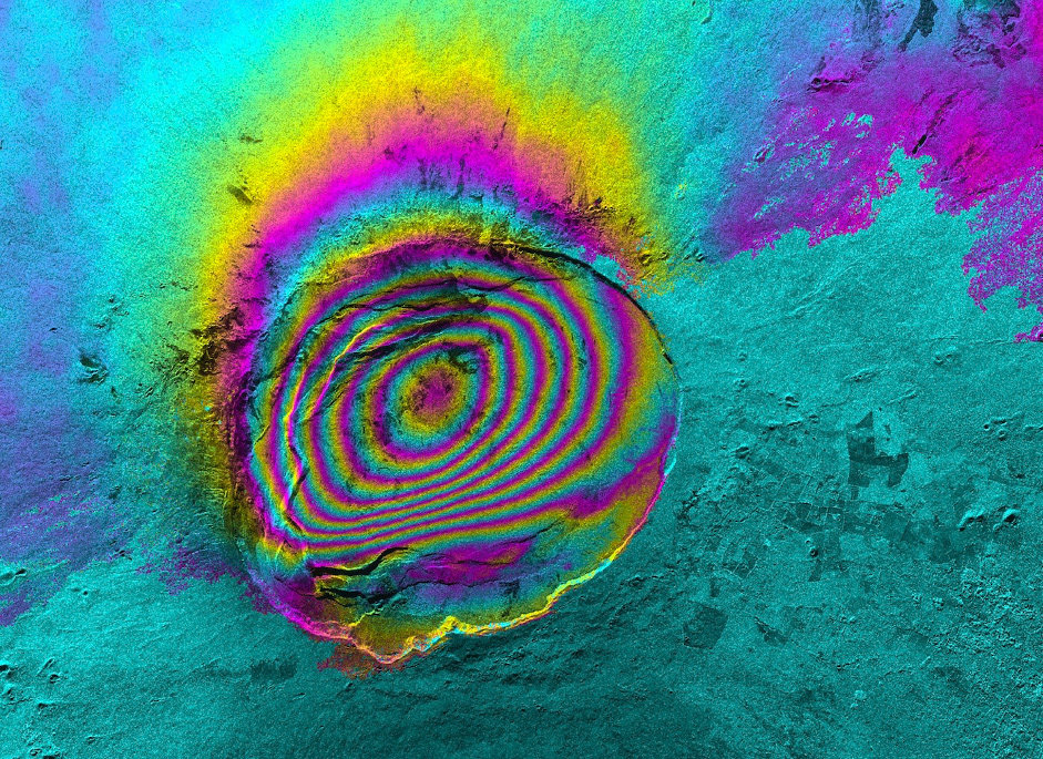
This course focuses on how satellite data can be used to detect and analyze ground deformation related to mining, landslides, and earthquakes. Building on the fundamentals from Part I, participants will apply Persistent Scatterer Interferometry (PSI) techniques using GMTSAR+STAMPS in a Docker environment and Jupyter Notebooks. The session walks through practical steps for processing, interpreting, and analyzing ground motion data.
- Teacher: Ling Chang
- Teacher: Islam Fadel
- Teacher: Hakan Tanyas

This course introduces the principles and techniques used in Ground Motion Monitoring through Earth Observation (EO). Participants will gain an understanding of Synthetic Aperture Radar (SAR) technology and how it is applied to detect and analyze ground displacement using Persistent Scatterer Interferometry (PSI). The session covers key concepts such as SAR backscattering, geometric distortions, and processing methods using GMTSAR+STAMPS. This foundational course prepares participants for more advanced (Part II - June 2025; online) training on practical applications (Part III - August 2025; onsite) and analysis of ground motion data.
- Teacher: Ling Chang
