
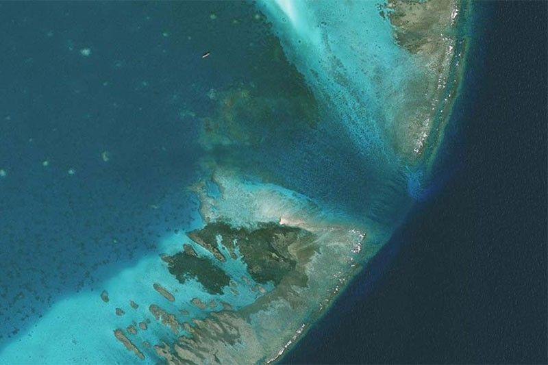
Building on the fundamentals covered in Part I, this session provides hands-onsession with the CopPhil Benthic Habitat Monitoring workflow. Participants will work with coastal data to pre-process imagery, apply classification steps, and interpret outputs for shallow water habitat mapping.
- Teacher: Anne-Laure BECK

This course introduces participants to the fundamentals of using remote sensing technologies for benthic habitat monitoring. It covers key principles of optical and radar satellite data, exploring their applications in shallow water monitoring and habitat assessment. Participants will gain foundational knowledge of spectral resolution, spatial resolution, and statistical parameter mapping, setting the stage for practical (Part II - June; onsite) and application (Part III -Aug 2025; onsite) training in later sessions.
- Teacher: Anne-Laure BECK