
CopPhil Digital Campus
-
Introduction
Welcome to the training platform under the ESA CopPhil Project!
The National Copernicus Capacity Support Action Programme for the Philippines (CopPhil) is a collaboration between the European Union (EU), the European Space Agency (ESA), and the Government of the Philippines, designed to strengthen the country’s capacity to leverage Copernicus Earth Observation (EO) data and services. By enhancing access to satellite-derived information, CopPhil supports disaster risk management, environmental monitoring, and sustainable development efforts in the Philippines.
This training platform is part of the knowledge and capacity development work package led by Paris Lodron University of Salzburg (PLUS), focusing on Knowledge and Skills Transfer. The training program is designed to equip participants with practical expertise in EO applications across CopPhil’s three thematic pilot services:
- Ground Motion Monitoring
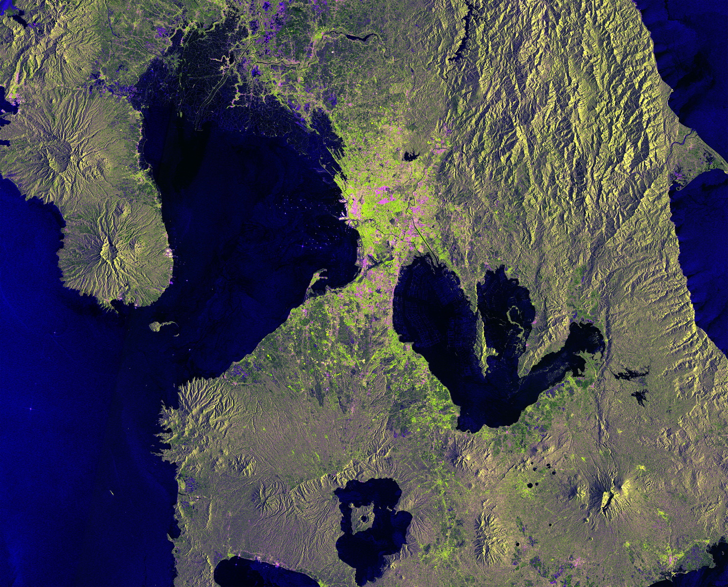
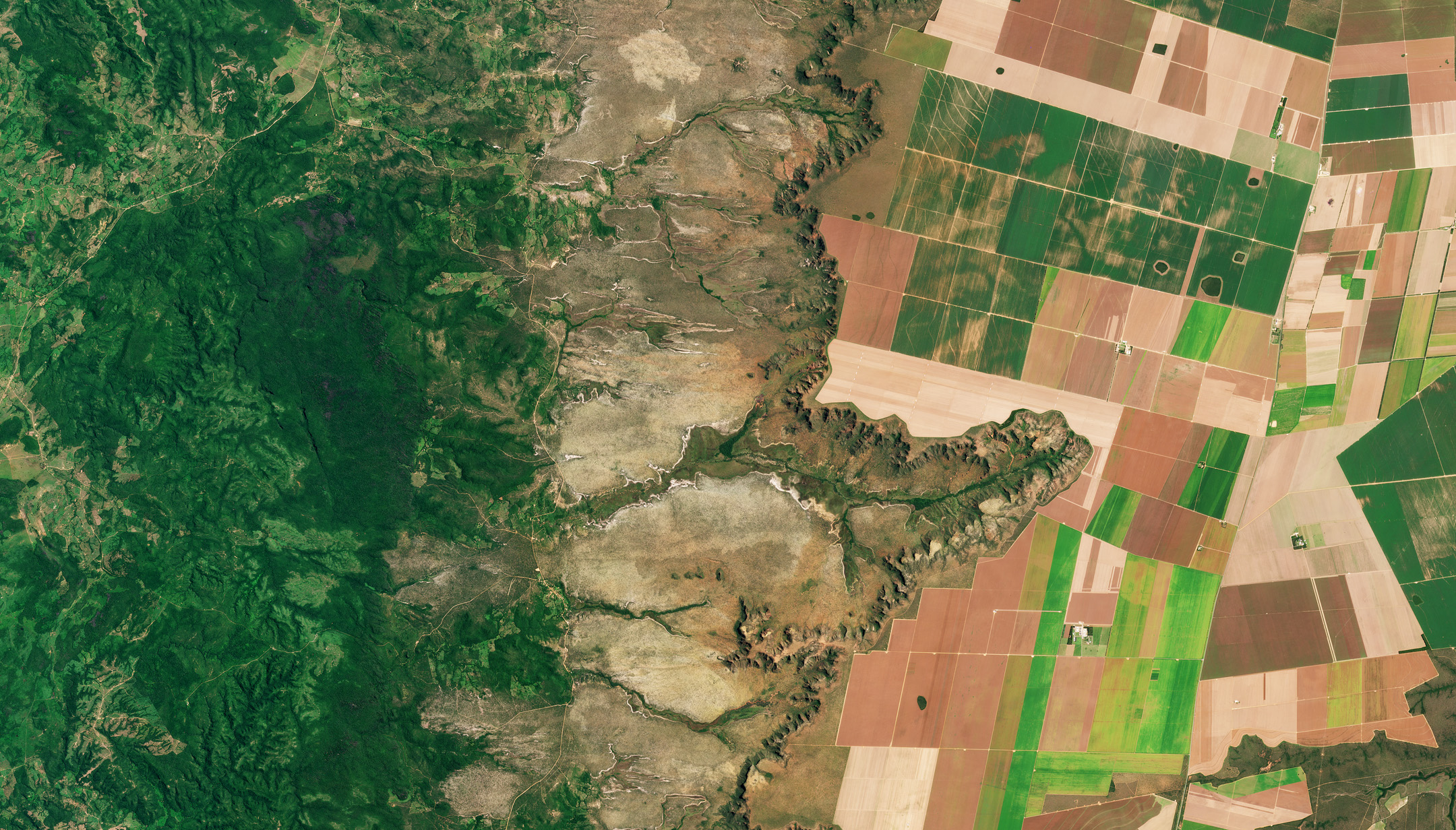
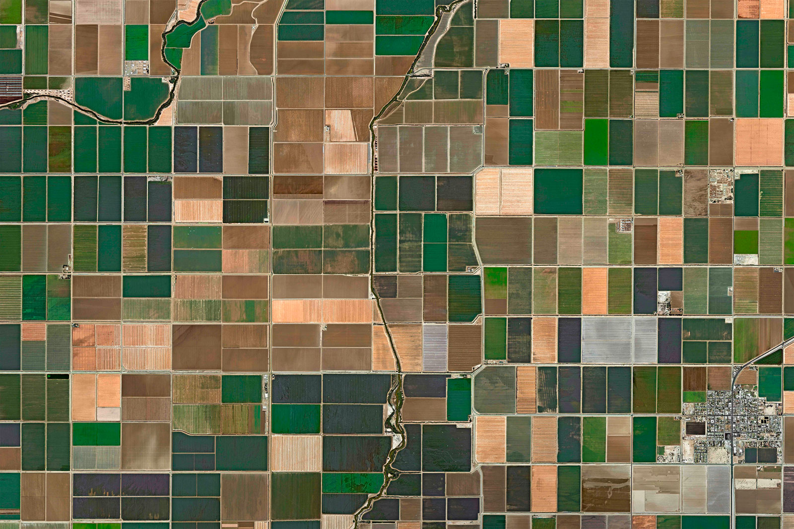
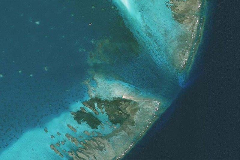
- Land Cover, Forest, and Crop Monitoring
- Benthic Habitat Monitoring
Through a mix of online and on-site courses, this platform serves as a hub for learning, collaboration, and capacity-building, ensuring that EO data can be effectively used for decision-making and policy implementation in the Philippines.
🚀 Get started by exploring the courses and resources available!
Course categories
Skip available courses
Available courses
This course serves as an introduction to the CopPhil project, which aims to integrate Copernicus satellite data to enhance national capacities in disaster management and environmental monitoring across the Philippines. It kicks off the comprehensive series of courses designed to demonstrate the practical applications of the developed CopPhil pilot Earth Observation (EO) services in addressing critical national challenges.
- Teacher: Carla Arellano
- Teacher: Casper Fibaek
This practical session introduces participants to satellite-based land cover monitoring using Copernicus data. Participants will learn how to visualize and process EO datasets, create training samples, and run the CopPhil Land Cover service.
- Teacher: Etienne Ducasse
- Teacher: Marion Sutton

This course serves as an introduction to the CopPhil project, which aims to integrate Copernicus satellite data to enhance national capacities in disaster management and environmental monitoring across the Philippines. It kicks off the comprehensive series of courses designed to demonstrate the practical applications of the developed CopPhil pilot Earth Observation (EO) services in addressing critical national challenges. This course lays the groundwork for upcoming practical (Part II - June 2025; online) and application-based (Part III - August 2025; on-site) sessions.
- Teacher: Etienne Ducasse
- Teacher: Marion Sutton

This hands-on course guides participants through the practical steps of running the CopPhil Forest Monitoring Service from data setup to running the code, analyzing outputs, and understanding forest-related indicators such as tree cover density and forest change.
- Teacher: Patricia Perez
- Teacher: Pablo Jesus Torres Hernández

This course introduces the principles of using Earth Observation (EO) for forest monitoring, covering key remote sensing techniques, data sources, and analytical methods. Participants will learn how Copernicus datasets, vegetation indices, and classification techniques are applied to assess forest cover, detect changes, and support sustainable management. As the first part of the Forest Monitoring Training Series, this session provides the foundational knowledge needed for practical (Part II - May 2025; onsite) and application (Part III - July 2025; online) trainings.
- Teacher: Angel Fernandez-Carrillo
- Teacher: Patricia Perez
- Teacher: Pablo Jesus Torres Hernández

This course is the second part of the CopPhil Crop Monitoring Training Series focusing on the hands-on application of Earth Observation (EO) tools for crop type mapping and monitoring. Participants will work directly with satellite imagery and in-situ datasets using the CopPhil Crop Service, and explore the full data processing workflow—from preparation to classification and interpretation—using platforms such as Sen4Stat, Jupyter Notebooks, and QGIS.
- Teacher: Dominic Hewitt
This course introduces how satellite data and Earth Observation (EO) technologies help monitor crops and support agriculture. Participants will learn about key remote sensing techniques, vegetation indices, and tools like Sen4Stat, which uses Copernicus data for tracking crop growth and land use. As the first session in the Crop Monitoring Training Series, this course builds a foundation for using EO in agriculture, preparing participants for more hands-on (Part II - May 2025; onsite) and advanced (Part III - Aug 2025; onsite) training in the next sessions.
- Teacher: Dominic Hewitt
- Teacher: Alexander Kreisel

This course focuses on how satellite data can be used to detect and analyze ground deformation related to mining, landslides, and earthquakes. Building on the fundamentals from Part I, participants will apply Persistent Scatterer Interferometry (PSI) techniques using GMTSAR+STAMPS in a Docker environment and Jupyter Notebooks. The session walks through practical steps for processing, interpreting, and analyzing ground motion data.
- Teacher: Ling Chang
- Teacher: Islam Fadel
- Teacher: Hakan Tanyas
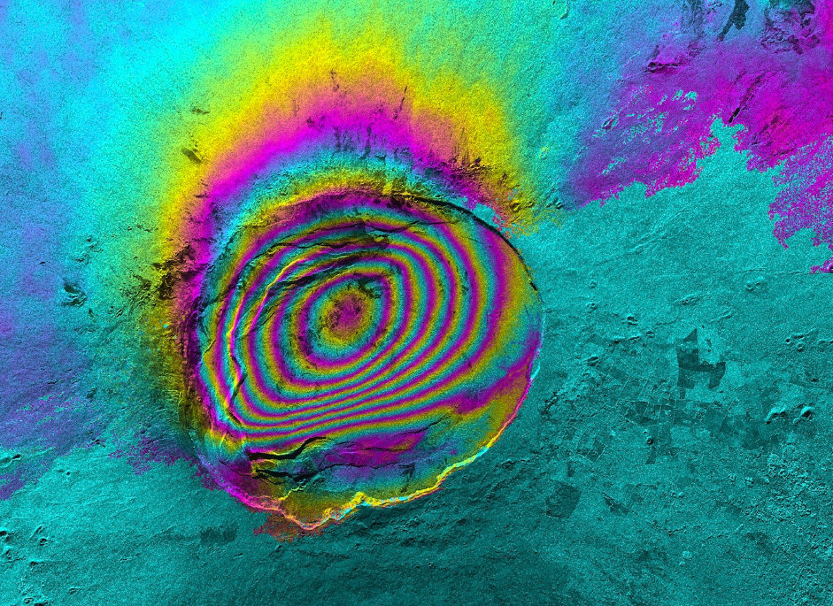
This course introduces the principles and techniques used in Ground Motion Monitoring through Earth Observation (EO). Participants will gain an understanding of Synthetic Aperture Radar (SAR) technology and how it is applied to detect and analyze ground displacement using Persistent Scatterer Interferometry (PSI). The session covers key concepts such as SAR backscattering, geometric distortions, and processing methods using GMTSAR+STAMPS. This foundational course prepares participants for more advanced (Part II - June 2025; online) training on practical applications (Part III - August 2025; onsite) and analysis of ground motion data.
- Teacher: Ling Chang
Building on the fundamentals covered in Part I, this session provides hands-onsession with the CopPhil Benthic Habitat Monitoring workflow. Participants will work with coastal data to pre-process imagery, apply classification steps, and interpret outputs for shallow water habitat mapping.
- Teacher: Anne-Laure BECK

This course introduces participants to the fundamentals of using remote sensing technologies for benthic habitat monitoring. It covers key principles of optical and radar satellite data, exploring their applications in shallow water monitoring and habitat assessment. Participants will gain foundational knowledge of spectral resolution, spatial resolution, and statistical parameter mapping, setting the stage for practical (Part II - June; onsite) and application (Part III -Aug 2025; onsite) training in later sessions.
- Teacher: Anne-Laure BECK